
WingtraRAY - Spare Drone
WingtraRAY - Spare Drone
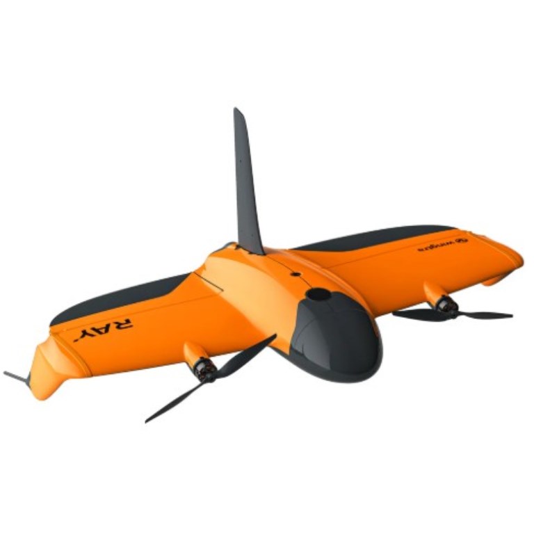
WingtraRAY: The drone made for surveyors! WingtraRAY gives the complete drone surveying system. From flight planning to CAD and GIS-ready outputs, it’s the only aerial survey solution that keeps it all in one, connected toolchain. It’s built for speed, accuracy and ease for use, so you can focus less on setup and more on results that move your project forward.
Description
WingtraRAY: The drone made for surveyors!
WingtraRAY gives the complete drone surveying system. From flight planning to CAD and GIS-ready outputs, it’s the only aerial survey solution that keeps it all in one, connected toolchain. It’s built for speed, accuracy and ease for use, so you can focus less on setup and more on results that move your project forward.
Documents
Specifications
- BrandWingtra
- Product TypeDrone
- Drone TypeTailsitter vertical take-off and landing (VTOL)
- Flight SpeedAdaptive between 16 and 22 m/s
- IP RatingIP53
- Maximum Flight59 minutes - Maximum coverage in one flight: 550 ha (1360 ac) at 2.7 cm GSD
- Operating Temperature-10°C to +40°C (+14° F to +104° F)
- Payload Capacity2.75 lb (1.25 kg)
- PPK Positioning Accuracy5 mm + 0.5 ppm (Horizontal), 10 mm + 1 ppm (Vertical)
- RTK CapabilityPPK (Post Processed Kinematic)
- Warranty1 year