
WingtraRAY SURVEY24 Payload
WingtraRAY SURVEY24 Payload
$ / EA
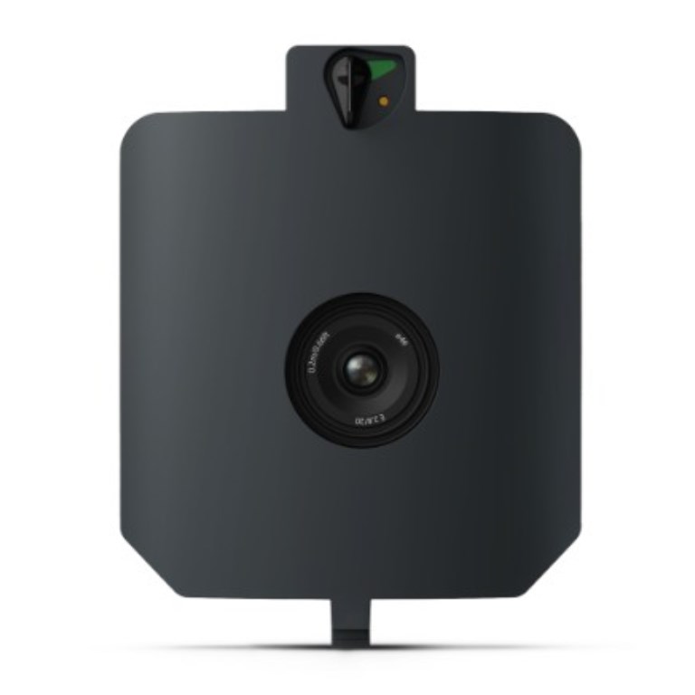
The WingtraRAY SURVEY24 Payload is an accessible, entry-level aerial mapping solution ideal for organizations seeking dependable survey data without premium sensor costs. Featuring a 24 MP APS-C sensor with a low-distortion nadir lens, it captures high-quality photogrammetry for general surveying, site documentation, and land assessment.
Description
The WingtraRAY SURVEY24 Payload is an accessible, entry-level aerial mapping solution ideal for organizations seeking dependable survey data without premium sensor costs. Featuring a 24 MP APS-C sensor with a low-distortion nadir lens, it captures high-quality photogrammetry for general surveying, site documentation, and land assessment.
Documents
There are no documents available.
Specifications
- BrandWingtra
- Product TypeDrone Payload
- Absolute Accuracy (RMS x, y, z) with PPK3 cm
- Lowest Possible GSD1.2 cm/px at 61 m altitude
- Maximum Coverage at 120 m330 ha
- Payload TypePhotogrammetry
- Sensor24 MP - APS-C sensor, low-distortion lens (20 mm), nadir configuration