
WingtraRAY SURVEY61 Payload
WingtraRAY SURVEY61 Payload
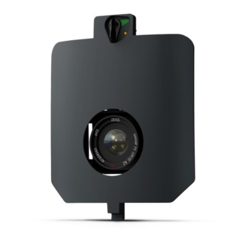
The WingtraRAY SURVEY61 Payload is a top-tier solution for survey-grade aerial photogrammetry. With a 61 MP full-frame nadir camera and a low-distortion 35 mm lens, it achieves exceptional ground resolution, reducing or eliminating the need for ground control points. It’s ideal for applications demanding absolute accuracy, from urban planning to civil engineering.
Description
The WingtraRAY SURVEY61 Payload is a top-tier solution for survey-grade aerial photogrammetry. With a 61 MP full-frame nadir camera and a low-distortion 35 mm lens, it achieves exceptional ground resolution, reducing or eliminating the need for ground control points. It’s ideal for applications demanding absolute accuracy, from urban planning to civil engineering.
Documents
There are no documents available.
Specifications
- BrandWingtra
- Product TypeDrone Payload
- Absolute Accuracy (RMS x, y, z) with PPK3 cm
- Lowest Possible GSD0.5 cm/px at 46 m altitude
- Maximum Coverage at 120 m310 ha
- Payload TypePhotogrammetry
- Sensor61 MP - Full-frame sensor, low-distortion lens (35 mm), nadir configuration