
DJI D-RTK 3 Multifunctional Station
DJI D-RTK 3 Multifunctional Station
Description
DJI D-RTK 3 Multifunctional Station | High-Precision RTK GNSS Base, Rover & Relay for DJI Enterprise Drones
The DJI D-RTK 3 Multifunctional Station is a professional-grade RTK GNSS positioning solution designed to deliver centimeter-level accuracy for DJI Enterprise drone operations. Engineered for aerial mapping, surveying, construction layout, infrastructure inspection, and public safety, the D-RTK 3 functions as a base station, rover station, or signal relay, offering unmatched flexibility in the field.
Centimeter-Level Accuracy for Mapping & Surveying
With support for multi-constellation GNSS (GPS, GLONASS, Galileo, BeiDou, QZSS, and L-Band), the DJI D-RTK 3 provides stable, real-time RTK corrections to compatible DJI Enterprise drones. This ensures highly accurate positioning for photogrammetry, LiDAR missions, volume calculations, and precision inspections, even in challenging environments.
Three Modes for Maximum Field Versatility
- Base Station Mode: Broadcasts RTK corrections to one or multiple drones simultaneously, ideal for large-area surveys and coordinated drone fleets.
- Rover Station Mode: Collect high-accuracy ground control points (GCPs) and check points, streamlining workflows when paired with DJI Enterprise software.
- Relay Station Mode: Extends drone control and video transmission range, improving connectivity in obstructed or remote locations.
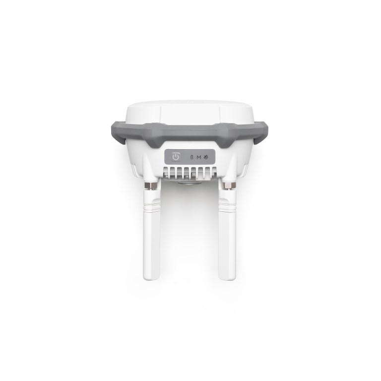
Built for Demanding Job Sites
The D-RTK 3 is housed in a rugged, IP67-rated enclosure, providing resistance to dust, water, and harsh weather. Its durable design makes it well-suited for construction sites, remote surveys, industrial inspections, and emergency response operations.
Seamless DJI Enterprise Integration
Fully compatible with DJI Pilot 2, DJI Terra, and supported DJI Enterprise drones, the D-RTK 3 enables efficient mission planning, accurate data capture, and simplified post-processing. Support for common coordinate systems ensures easy integration into existing GIS and survey workflows.
Key Features & Benefits
- Centimeter-level RTK positioning accuracy
- Base, rover, and relay station functionality
- Multi-GNSS and multi-frequency support
- Optimized for DJI Enterprise drones and software
- IP67-rated, field-ready design
Ideal For
Surveyors, GIS professionals, construction managers, drone service providers, utilities, and public safety teams requiring reliable, high-precision GNSS positioning for professional UAV operations.
Documents
There are no documents available.
Specifications
- BrandDJI Enterprise
- Product TypeMultifunctional Station