
Applanix LiDAR QC Tools: A Powerful New Benefit in Your TBC Subscription
Applanix LiDAR QC Tools are a set of POSPac software tools to achieve the highest level of georeferencing accuracy with LiDAR sensors.
With the latest release of Trimble Business Center (TBC), Applanix LiDAR QC is now available across all Trimble MX systems (MX50, MX60, MX9, MX90) — and included with your TBC Mobile Mapping subscription.

An in-depth study has concluded that the utilization of Applanix LiDAR QC Tools has the potential to enhance the final mapping product quality by 280% in critical GNSS environments.
What Applanix LiDAR QC Does
Applanix LiDAR QC refines GNSS-INS trajectories and corrects for errors like boresight misalignments, GNSS signal dropouts, and sensor drift. The result?
- Improved accuracy – vertical accuracy tightened from ~3.8 cm to 1.4 cm, horizontal RMS from 8.4 cm down to 3.0 cm.
- Greater consistency – Mobile mapping at traffic speeds minimizes the exposure of survey crews to hazardous conditions.
- Higher confidence – reliable results even in GNSS-challenged environments such as dense urban “canyons.”
Why It Matters
Mobile Mapping projects often face environments where GNSS is degraded by tall buildings, narrow roads, or long signal gaps. Applanix LiDAR QC uses LiDAR data itself to “aid” and optimize trajectories, enabling results comparable to open-sky conditions — without requiring extensive ground control points.
Proof in the Study
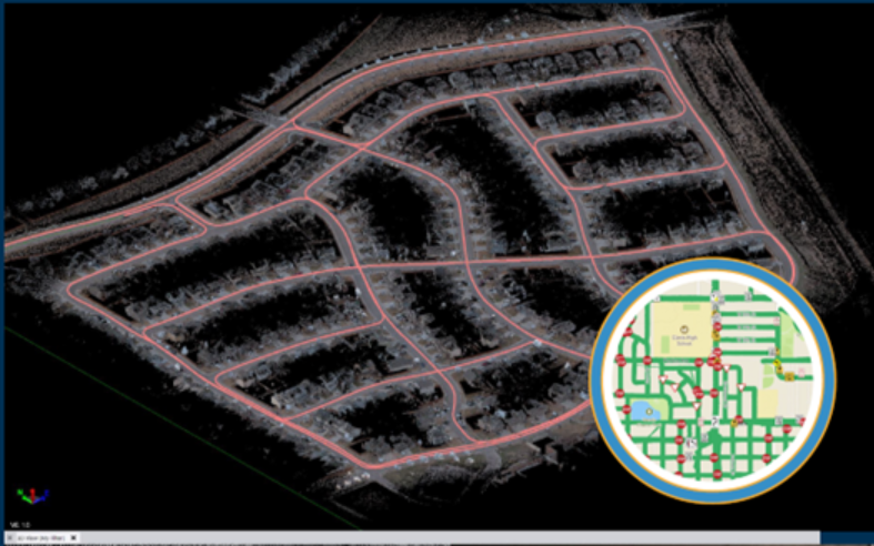
A recent case study in Biberach, Germany, demonstrated LiDAR QC’s impact on the MX50 in a town center with poor GNSS coverage. Results showed:
- Vertical accuracy improved by over 250% (from 3.8 cm RMS to 1.4 cm).
- Horizontal accuracy improved by over 280% (from 8.4 cm RMS to 3.0 cm).
- 3D RMS accuracy improved from 9.2 cm to 3.3 cm — a threefold gain.
These improvements confirm LiDAR QC’s ability to significantly elevate mapping product quality in the most challenging environments.
Learn more about what LiDAR QC can do.
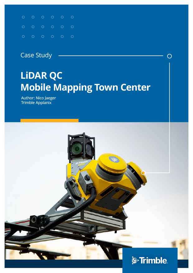
The original Case Study was conducted for Trimble Applanix, authored by Nico Jaeger. To learn more about the Trimble MX series, visit Cansel’s Mobile Mapping Systems page.
Don't have a subscription?
Looking for the latest software or firmware to enhance your workflow? Visit Cansel’s renewable assets information page.