
WingtraRAY Hardware and PPK Bundle
WingtraRAY Hardware and PPK Bundle
Description
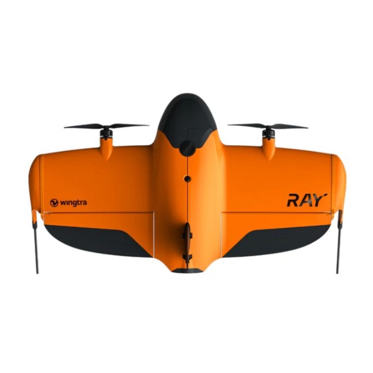
WingtraRAY Drone + PPK License Bundle — Precision Drone Surveying Solution
The WingtraRAY Drone delivers a powerful, professional-grade drone surveying system tailored for high-accuracy aerial mapping, bathymetry, and geospatial data collection projects. Combining the advanced WingtraRAY fixed-wing VTOL drone with a robust PPK (Post-Processed Kinematic) license, this package empowers surveyors, engineers, and GIS professionals to generate highly precise, geo-referenced datasets for mapping, coastal monitoring, reservoir bathymetry, and terrain modeling applications.
WingtraRAY’s efficient VTOL (vertical take-off and landing) design enables flights from compact take-off zones while delivering the endurance and coverage area of a fixed-wing aircraft. With the PPK license, raw GNSS data from the onboard receiver can be post-processed to produce centimeter-level positional accuracy — eliminating the need for ground control points and significantly streamlining survey workflows.
Key Features — WingtraRAY Drone Platform
-
VTOL Flexibility: Vertical take-off and landing capability allows deployment from small launch sites, rooftops, or confined areas without runway requirements.
-
Long-Range Coverage: Fixed-wing flight efficiency gives extended flight endurance and broad area coverage, ideal for large-area mapping and bathymetric surveys.
-
High-Precision Mapping: PPK-enabled GNSS workflow enables centimeter-level positional accuracy for geospatial, topographic, and bathymetric datasets.
-
Efficient Workflow: Reduce or eliminate the need for ground control points, saving time on fieldwork and ground preparation.
-
Robust Build: Designed for professional survey environments — durable airframe, stable flight dynamics, and weathertolerant operation.
PPK License — Precision & Accuracy
-
Post-Processed Kinematics: License enables post-flight GNSS data correction for centimeter-level horizontal and vertical accuracy.
-
Ground Control Point (GCP) Optional: High positional accuracy often removes the need for extensive ground control setups.
-
Professional-Grade Outputs: Ideal for applications demanding high geospatial fidelity — e.g., coastal monitoring, reservoir bathymetry, terrain modeling, mining surveys, and cadastral mapping.
-
Efficient Turnaround: Quick post-processing workflows lead to fast delivery of precise, ready-to-use datasets.
What’s Included
-
WingtraRAY VTOL Drone
-
Onboard GNSS receiver configured for PPK
-
PPK License and associated software/configuration files
-
Standard drone accessories (batteries, remote controller, chargers, cables)
-
Documentation and user manual
Ideal For
Surveyors, GIS professionals, hydrographic and coastal survey teams, mining operators, environmental researchers, and engineering firms needing fast, accurate, and efficient aerial mapping and bathymetric surveys — especially where high positional accuracy, large area coverage, and reduced ground control work are priorities.
Documents
Specifications
- BrandWingtra
- Product TypeDrone
- Drone TypeTailsitter vertical take-off and landing (VTOL)
- Flight SpeedAdaptive between 16 and 22 m/s
- Infrared Thermal Camera Built InN/A
- IP RatingIP53
- Maximum Flight59 minutes - Maximum coverage in one flight: 550 ha (1360 ac) at 2.7 cm GSD
- NIR Auxiliary Light Built InN/A
- Operating Temperature-10°C to +40°C (+14° F to +104° F)
- Payload Capacity2.75 lb (1.25 kg)
- PPK Positioning Accuracy5 mm + 0.5 ppm (Horizontal), 10 mm + 1 ppm (Vertical)
- RTK CapabilityPPK (Post Processed Kinematic)
- Warranty1 year