Terrestrial Laser Scanners and SLAM
Discover Cansel’s range of terrestrial laser scanners and SLAM-based mapping systems for fast, high-accuracy 3D data capture in construction, surveying, and geospatial applications. Ideal for both static scanning and mobile mapping, these solutions deliver detailed point clouds for as-built documentation, BIM workflows, and indoor/outdoor reality capture—all with speed, precision, and flexibility.
Filters
4 Items
Select View:
content loaded

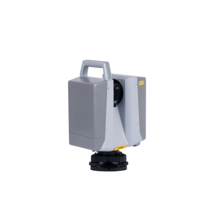
Trimble Geospatial X12 Scanner Bundle - Includes X12 + T110 Tablet with Perspectives Software + Tripod
SKU #902044Model #X12-100-00-T10X
Complete your purchase with our Software Solutions and Subscriptions!
Staying current with updates and new features and having your equipment covered under warranty maximizes your investment to ensure optimal performance during your ownership lifecycle.