
Wingtra LIDAR Bundle for WingtraRAY
Wingtra LIDAR Bundle for WingtraRAY
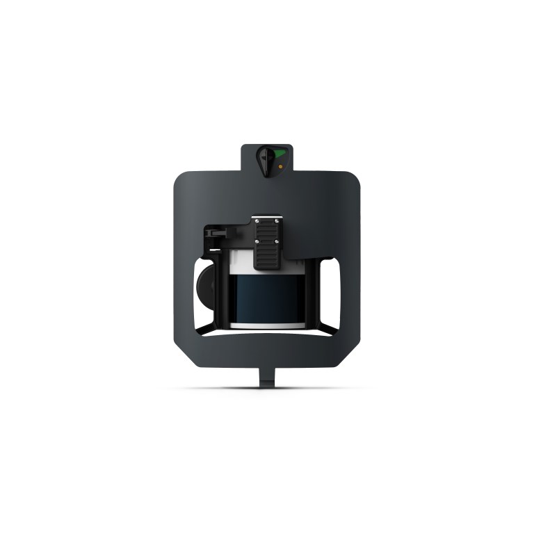
Description
Wingtra LiDAR Scanner — High-Precision Aerial LiDAR Mapping System (Includes Wingtra LiDAR PPK)
Unlock industry-leading airborne LiDAR performance with the Wingtra LiDAR Scanner, now bundled with the Wingtra LiDAR PPK module for survey-grade georeferencing. This advanced LiDAR payload integrates seamlessly with Wingtra VTOL drones, delivering high-resolution point clouds, consistent accuracy, and efficient data capture across demanding mapping missions.
Engineered for terrain modeling, forestry analysis, corridor mapping, and detailed asset extraction, the Wingtra LiDAR Scanner with PPK enables faster workflows, reduced ground control requirements, and highly reliable 3D datasets — even in challenging environments.
Key Features — LiDAR Payload for Wingtra Platforms (with PPK)
High-Resolution 3D Point Clouds
-
Produces dense, high-accuracy LiDAR data suitable for topographic mapping and complex surface modeling
-
Captures fine detail for breakline extraction, feature mapping, and elevation modeling
Integrated PPK Workflow
-
Includes Wingtra LiDAR PPK module for precise GNSS post-processing and improved absolute accuracy
-
Minimizes dependence on ground control points while enhancing vertical precision
Seamless Integration With Wingtra VTOL Drones
-
Designed specifically for Wingtra platforms
-
Maintains stable flight profiles and clean LiDAR scan geometry
Fast & Efficient Data Capture
-
Wide field-of-view and high pulse repetition rate
-
Captures large areas and linear corridors with fewer flights and reduced field time
Survey-Grade Positioning & IMU Performance
-
GNSS-aided inertial measurement system ensures robust georeferencing
-
Delivers consistent results across varying terrain and environmental conditions
Rugged, Lightweight & Field Ready
-
Durable design optimized for long survey days
-
Easily deployable, easy to transport, and built for real-world mapping conditions
What’s Included
-
Wingtra LiDAR Scanner Payload
-
Wingtra LiDAR PPK Module (Included)
-
Mounting and integration hardware
-
Calibration tools and documentation
-
User manual and setup guide
Ideal For
Geospatial professionals, survey firms, forestry specialists, environmental scientists, mining and aggregates teams, and infrastructure planners who require high-density 3D data, survey-grade accuracy, and efficient LiDAR acquisition. Ideal for topographic surveys, forestry canopy analysis, corridor mapping, floodplain modeling, volumetrics, and precision engineering applications.
Documents
Specifications
- BrandWingtra
- Product TypeDrone Payload
- Absolute Accuracy (RMS x, y, z) with PPK3 cm
- Lowest Possible GSD1.2 cm/px at 54 m altitude
- Maximum Coverage at 120 m380 ha
- Maximum Coverage at 90 m460 ha
- Payload TypeLiDAR Mapping and Photogrammetry
- SensorHesai XT32M2X Laser Scanner
- Weight1030 g