


NavVis CLX Mobile Mapping System
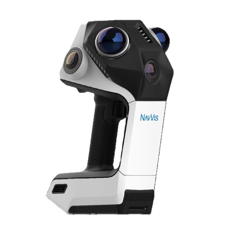
NavVis CLX Mobile Mapping System
Description
NavVis CLX Handheld Reality Capture System
Bring professional reality capture into everyday documentation workflows with the NavVis CLX, an agile handheld laser scanning system designed for fast, repeatable spatial data capture at scale. Compact, lightweight, and straightforward to operate, NavVis CLX helps organizations capture reliable as-built data across residential, commercial, and industrial environments without making every project dependent on a specialized scanning team.
Built around a dual LiDAR architecture, panoramic imaging, and an integrated display with real-time 2D and 3D coverage feedback, NavVis CLX allows operators to verify capture completeness while still on site. The result is clean, documentation-grade point cloud data designed to reduce uncertainty, minimize costly return visits, and streamline downstream CAD and BIM workflows.
Key Features
- Reliable, complete capture – Dual LiDAR sensors and live 2D/3D coverage visualization help operators identify potential gaps before leaving the site.
- Built for everyday deployment – At just 1.8 kg, the compact handheld design makes professional reality capture practical across more projects and more members of your team.
- Documentation-ready data – Produces clean, low-noise point clouds optimized for area referencing, site assessment, quantity surveying, 2D drafting, and LOD200 Scan-to-CAD/BIM workflows.
- Flexible field operation – Use handheld, with the detachable extension pole, or with the ergonomic harness for longer capture sessions and difficult-to-reach environments.
- Simple to learn and scale – Integrated feedback and streamlined operation make it easier to train additional operators and expand reality capture across an organization.
- Connected NavVis workflow – Integrates with NavVis IVION Processing and NavVis IVION to move efficiently from field capture through processing, visualization, measurement, collaboration, and final deliverables.
Designed for High-Volume Reality Capture
NavVis CLX is purpose-built for organizations managing frequent documentation projects where speed, simplicity, and consistent data quality are essential. Typical applications include as-built documentation, site assessments, area referencing, quantity surveying, renovation and retrofit projects, and LOD200 Scan-to-CAD/BIM. Its portable design is particularly effective in occupied, confined, and difficult-to-access spaces where rapid deployment is an advantage.
From Capture to Deliverable
Paired with NavVis IVION Processing and NavVis IVION, NavVis CLX supports an integrated reality capture workflow from the jobsite to the office. Spatial data can be processed, accessed, measured, shared, and used for downstream CAD and BIM production, giving project teams a reliable digital representation of existing conditions while helping organizations get more value from every site visit.
Specifications
- BrandNavVis
- Product TypeSimultaneous Localization and Mapping (SLAM) Scanner
- Camera3 X 12 MP
- IP RatingIP54
- LiDAR Sensor2 X 2000,000 points per second
- Measurement TechnologyLiDAR SLAM
- Operating RangeUp to 30 m (98 ft)
- Range Accuracy8 mm
- Scanning Speed400 kHz
- Warranty1 year