


NavVis VLX 4
Capture Details In Motion
NavVis VLX 4 is the first dynamic reality capture device built for projects that need high-detail data. It combines dynamic scanning speed with true 3 mm point cloud resolution for demanding LOD350+ Scan-to-BIM, MEP, and industrial applications.
Unique Benefits
Bring dynamic speed to high-detail projects
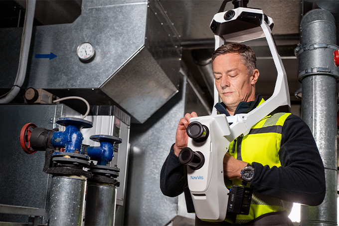
NavVis VLX 4 brings fine geometric detail to dynamic reality capture, enabling you to capture thin pipes, sharp edges, bolts, brackets and densely packed technical environments when moving.
One Investment. More Opportunities.
Take on higher-value engineering, industrial, and high-detail reality capture projects with confidence. NavVisVLX4 expands the range of services you can offer, helping you win more projects, reach new customers, and grow your business with a single solution.
Scale Your Business, Not Complexity.
Increase project capacity without increasing operational overhead. NavVis VLX 4 gives your team a repeatable, efficient workflow that makes it easier to deliver more projects as your business grows.
NavVis VLX features
Highest Level of Detail from A Dynamic Scanner
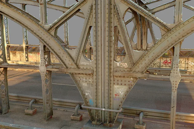
True 3 mm point cloud resolution, three lidars sensors specifically designed for reality capture, and industry-trusted NavVis software work together to capture exceptional geometric detail - clearly resolving thin pipes, bolts, sharp edges in complex industrial and technical environments for LOD350+ Scan-to-BIM and demanding engineering workflows.
Triple-lidar Architecture
Three lidar sensors deliver the high point density needed to resolve fine details and sharp features, capturing complex geometry from multiple angles in a single pass for cleaner, more complete point clouds.
Wearable Reality Capture High LOD Projects
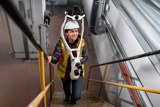
Cover more ground in less time. Move freely through complex environments while continuously capturing the high-detail data you need for demanding projects.
Proven NavVis Technology
Trusted NavVis SLAM software delivers the positioning reliability and consistent data quality demanding projects require.
One Connected NavVis Workflow
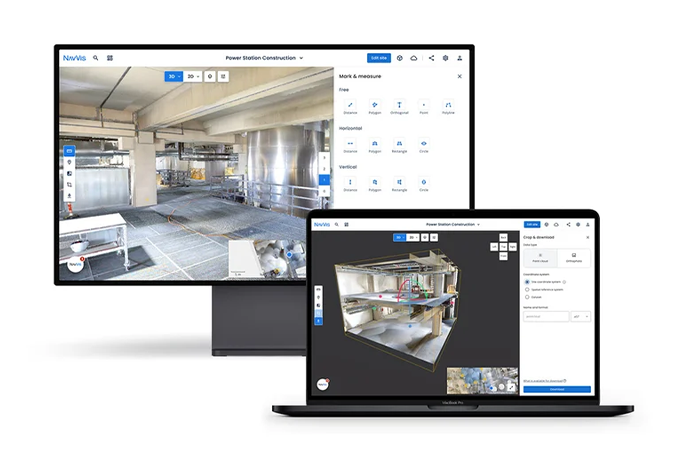
Go from capture to deliverable in one connected Workflow with IVION. The NavVis ecosystem brings capture processing, collaboration, and integration together – reducing manual steps and keeping projects moving efficiently from site to final output.
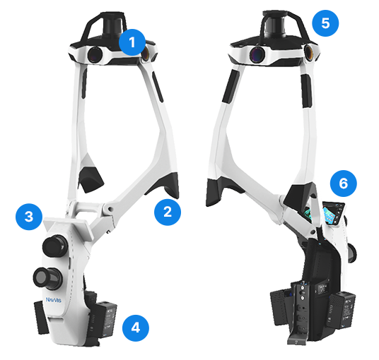
1
4 x 20 MP cameras for panoramic images
2
Padded shoulder support
3
2 x high-precision vertical LiDAR sensors
4
2 x LI-ion 95 Wh battery (hot swappable)
5
Triple-LiDAR architecture
6
Built-in screen for live feedback
Software
Turn Your Data Into Decisions
NavVis VLX 4 is optimized to work seamlessly with IVION Processing and IVION, helping teams move efficiently from capture to processed data, access, and deliverables. Capture reliable as-is and as-built data with minimal effort, then process, manage, and share it in one connected workflow.
Book a Demo
Learn More About the VLX4
Reach out and connect with a specialist who understands your industry, your workflow, and the power of NavVis technology.