


ALL-ACCESS PASSES
Join the conference that Trimble users look forward to every year. Secure your full conference pass early to access everything Dimensions has to offer at the best available rate.
Limited-time early-bird pricing is now available, along with special discounts for educators and government agency employees.
MAKE A CASE FOR YOUR ATTENDANCE
We have the resources to help you build a strong business case for attending Trimble Dimensions. Demonstrate to your approver how the conference is an investment in your professional development as a Trimble user — and in the long-term success of your company.
List of Sessions with Presenters from the Cansel Group
[G-1013]
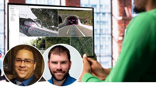
Increasing Survey Field Crew Productivity with Trimble Connect (For New Users)
Learn how to integrate Trimble Connect into field-to-office workflows to improve communication and productivity. See how data moves from Trimble Business Center to Trimble Access, how crews access notes and attachments, and how completed field data is returned and managed in the office.
Marvin Mudahy, Technology Enablement Lead, Cansel
Levi Shinn, Geospatial Support Technician, Seiler Instrument
Monday, Nov 9
11:00 AM - 12:30 PM PST (Titian 2205)
Wednesday, Nov 11
9:00 AM - 10:30 AM PST (Titian 2205)
[G-1121]
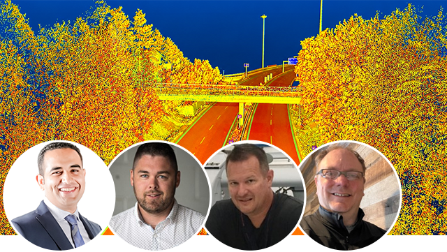
From Capture to Insight – Building a Connected Mobile Mapping Workflow for Asset Intelligence
Explore how connected mobile mapping can transform asset capture into actionable insight. Learn how Trimble Business Center supports efficient data collection, automated feature extraction, GIS integration, scalable asset inventories, and data-driven decision-making.
Akram Afifi, Technology Enablement Manager, Cansel
David Laflamme, Strategic Solutions Director (Utilities, Public Works & Education), Cansel
Yannick Savey, Product Adoption Lead, Cansel
Doug Culbert, President, SpatialData.AI
Monday, Nov 9
1:30 PM - 2:30 PM PST (Veronese 2503)
[G-1206]
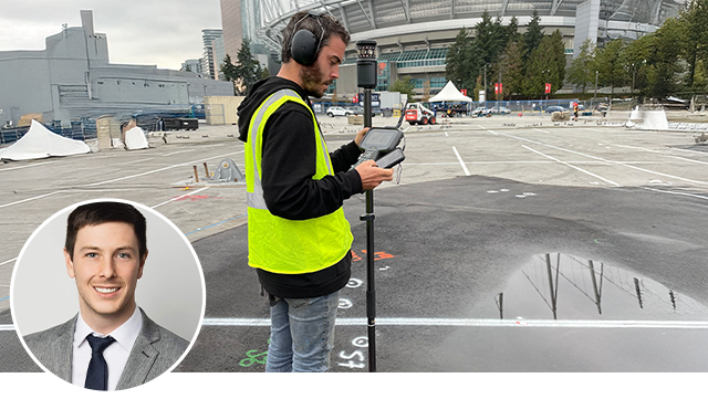
Behind the Magic: Global Operations for Cirque du Soleil
See how Cirque du Soleil uses Trimble Connect and Trimble Access to maintain data integrity across global show locations. Explore a field-to-finish workflow that supports high-precision staking during a demanding 10-day relocation, demonstrating how Trimble technology enables repeatable results under tight timelines.
Pierre-Luc Jarry-Poirier, Product Adoption Lead, Cansel
Monday, Nov 9
3:00 PM - 4:00 PM PST (Veronese 2506)
[G-1293]
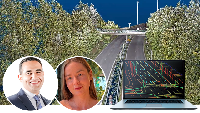
Road Condition Assessment: Trimble's Approach vs. Conventional
Compare Trimble MX Mobile Mapping and Trimble Business Center capabilities with conventional Laser Crack Measurement Systems. Using real-world projects, explore differences in data richness, efficiency, and scalability, and see how these tools support GIS-ready intelligence, digital asset inventories, and smart infrastructure.
Akram Afifi, Technology Enablement Manager, Cansel
Khrystyna Bezborodova, Senior Product Manager, Feature Extraction, Trimble Inc.
Monday, Nov 9
3:00 PM - 4:00 PM PST (Veronese 2502)
[G-1755]
Estimate Your Errors Better: Network Adjustment in Trimble Business Center (For New Users)
Achieve greater confidence in survey results through network adjustment and least squares techniques in Trimble Business Center. Using real-world workflows, explore error distribution, constraints, weights, and adjustment reports to establish a practical quality-control process for accurate deliverables.
Jonathan Calvé, Technology Enablement Manager, Cansel
Brent D. Anderson, Civil Construction Software Specialist, Product Enablement, Trimble
Tuesday, Nov 10
8:30 AM - 11:00 AM PST (Titian 2205)
Wednesday, Nov 11
1:00 PM - 3:30 PM PST (Titian 2205)
[G-1575]
Productivity with Trimble Business Center Surface Workflows (For Advanced Users)
Take your Trimble Business Center skills beyond the basics. A deeper dive into TBC surfaces tools, techniques, and capabilities to strengthen skills, fill knowledge gaps, and get more from your workflows. Build greater confidence in surface processing and discover what’s possible with TBC.
Jonathan Calvé, Technology Enablement Manager, Cansel
Ken Bork, Senior Training and Content Lead, Trimble
Tuesday, Nov 10
1:30 PM - 2:30 PM PST (Titian 2303)
Wednesday, Nov 11
4:00 PM - 5:00 PM PST (Titian 2303)
![Getting Started with Point Clouds in Trimble Business Center for Surveyors and Contractors [G-1467]](https://d21wzbwgz8tkn8.cloudfront.net/userfiles/news/trimble-dimensions-2026/session%205.png)
[G-1753]
Survey Mistakes Happen: Identify and Fix Them in Trimble Business Center (For New Users)
Common field errors can compromise survey data and lead to costly rework. This session demonstrates how to identify and correct issues such as incorrect backsights, rod heights, and OPUS positions using Trimble Business Center. Explore practical data-verification and quality-control workflows to improve project accuracy.
Marvin Mudahy, Technology Enablement Lead, Cansel
Robert Martin, Surveyor, Surveying With Robert, LLC
Tuesday, Nov 10
3:00 PM - 4:00 PM PST (Titian 2202)
Tuesday, Nov 10
4:30 PM - 5:30 PM PST (Titian 2202)
Wednesday, Nov 11
4:00 PM - 5:00 PM PST (Titian 2202)

[R-2030]
Engineered for Growth: How Cansel Group Rebuilt Marketing to Align with Sales and Lead with Clarity
Cansel Group transformed its marketing approach from reactive, sales-driven requests to a deliberate, sales-aligned strategy. This session covers the company's approach to improving lead quality, addressing technical challenges across Salesforce and HubSpot, and consolidating product offerings into customer-focused pillars designed to create clearer messaging, stronger alignment, and more effective customer engagement.
Tom Cardenas, SVP, Marketing & Communication, Cansel Group
Weena Marasigan, Marketing Manager, Cansel Group
Tuesday, Nov 10
3:00 PM - 4:00 PM PST (San Polo 3501 A)
[G-1565]
Scan First, Ask Later: Map the Unexpected
This session will examine howTrimble geospatial technology can uncover new applications beyond traditional AEC workflows. From race cars and Burning Man sculptures to forests and planetariums, the session shares lessons from fast, low-risk pilot projects and integrating hardware and software in unfamiliar environments.
Brett Clarke, Account Manager, California Surveying and Drafting Supply
John Meyer, Principal Surveyor, Meyer Surveying
Wednesday, Nov 11
9:00 AM - 10:00 AM PST (Veronese 2405)
Estimate your Errors Better: Network Adjustment in Trimble Business Center [G-1469]
This PC lab teaches network adjustment in Trimble Business Center (TBC) to improve survey accuracy. Attendees review least squares principles, process three projects with varying errors, identify sources, apply constraints and weighting, interpret reports, and implement corrections—building confidence in producing precise, high-quality results.
Jonathan Calvé, QLS and Professional Services Manager, Cansel
Monday, Nov 10
1:30 PM - 4:00 PM PST (Titian 2303)
Wednesday, Nov 12
9:00 AM - 11:30 AM PST (Titian 2206)
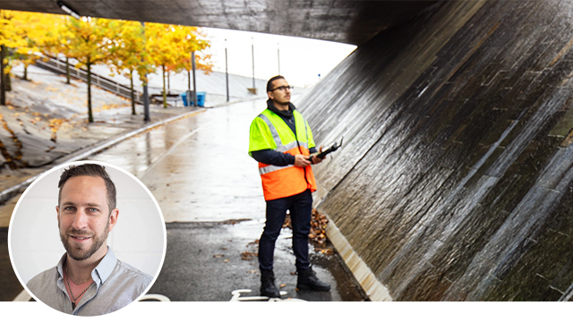
Baseline Processing and Maximizing GNSS Data Processing Efficiency with Trimble Business Center [G-1468]
This hands-on PC lab explores GNSS processing in TBC, from importing static data to using Internet Download for orbital data and control stations. Learn to analyze baselines, refine data, generate reports, and submit projects to RTX and OPUS via TBC Processing Services for optimal results.
Jonathan Calvé, QLS and Professional Services Manager, Cansel
Tuesday, Nov 11
8:30 AM - 10:00 AM PST (Titian 2303)
Wednesday, Nov 12
4:00 PM - 5:30 PM PST (Titian 2303)

Training Future Land Surveyors and Geomatics Engineers Using Trimble Equipment and Software [G-1136]
Université Laval’s Department of Geomatics Sciences partners with Cansel and Trimble to blend academic training with industry technology. Students gain hands-on experience in geospatial data collection, processing, and instrument calibration using advanced indoor and outdoor infrastructures.
David Laflamme, Segment Manager - Mobile Mapping, TBC, Connect and Education, Cansel
Tuesday, Nov 11
10:00 AM - 11:00 AM PST (Titian 2201 A)
Digitizing Caltrans Construction Inspections with GIS-Driven Trimble Workflows [O-1373]
Caltrans, Cansel, and Trimble are digitizing Caltrans’ Daily Inspection Workflow with Trimble Unity and GIS-centric tools. By optimizing GIS schemas and replacing paper/PDFs, the project enables smart data collection, real-time reporting, and improved accuracy, accessibility, and decision-making.
Gerry James, Project Manager and Technical Consultant, SolidCAD
Richard Johnson, Project Manager, SolidCAD
Ahmed El-Ghazouly, Professional Services Director, Cansel
Tuesday, Nov 11
10:00 AM - 11:00 AM PST (Galileo 905)
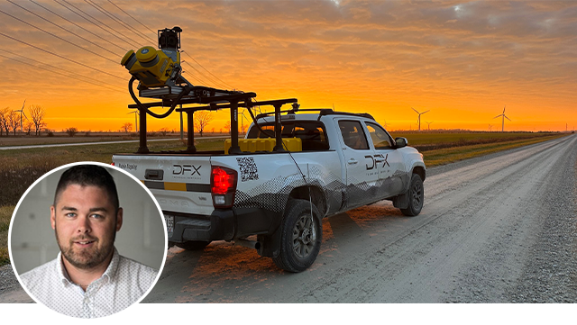
Mobile Mapping Solutions: A Fiber-to-the-Home Expansion Journey [G-1257]
DFX Technical Services utilizes Trimble MX50 and MX60 to expedite fiber-to-the-home deployments. This session covers their shift to advanced mobile mapping, streamlined field-to-finish workflows, and strategies for staying accurate, agile, and scalable in high-demand infrastructure projects.
David Laflamme, Segment Manager - Mobile Mapping, TBC, Connect and Education, Cansel
Tuesday, Nov 11
1:30 PM - 2:30 PM PST (Veronese 2501 A)
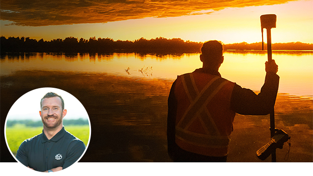
Scaling Solo: How Strategic Training and Tech Transformed a One-Person Survey Business [G-1325]
Hear how a solo surveyor used a drone, Trimble software, and training to build a thriving, tech-driven business. With workflow restructuring and dealer support from CSDS, they now compete—and win—against larger firms through efficiency and expertise.
Brett Clarke, Account Manager, CSDS
Tuesday, Nov 11
1:30 PM - 2:30 PM PST (Titian 2201 A)

Corner Records in a Quarter of the Time: Trimble Automation in Action [G-1371]
Learn how to cut production time by 75% using FXL files, custom reports, and merge tools in Trimble workflows. This automated approach turns raw field data into regulation-compliant forms fast, eliminating manual entry and boosting deliverable quality.
Marvin Mudahy, Professional Services Trainer, Cansel
Wednesday, Nov 12
9:00 AM - 10:00 AM PST (Veronese 2501 A)
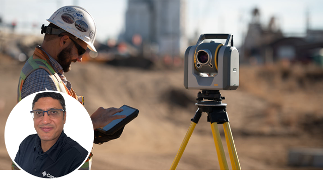
Using Trimble Business Center to Bridge the Gap from Conventional Surveying to Advanced Scanning Workflows [G-1410]
TBC bridges conventional surveying and 3D scanning, enabling the integration of SX12, X9, or MX9 data for feature extraction, line coding, and CAD output. Shift field tasks to the office, improve QA/QC, and collaborate via the Trimble Reality Capture platform service in Trimble Connect.
Sherif Ibrahim, Reality Capture Lead, Cansel
Wednesday, Nov 12
10:30 AM - 11:30 AM PST (Veronese 2501 B)
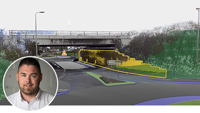
From Streets to Screens: Mastering End-to-End Mobile Mapping with TBC and Trimble Connect [G-1060]
Follow a mobile mapping project from planning to processing in TBC and sharing via Trimble Reality Capture Platform Service (TRCPS). See how connected workflows speed large dataset handling, enable real-time collaboration, and deliver accurate results faster.
David Laflamme, Segment Manager - Mobile Mapping, TBC, Connect and Education, Cansel
Wednesday, Nov 12
1:00 PM - 2:00 PM PST (Titian 2201 A)
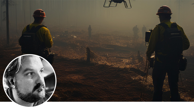
Lines Through the Ashes: Mapping Malibu’s Recovery with Trimble Technology [G-1304]
After the 2025 Pacific Palisades Fire, multi-sensor surveys processed in TBC produced maps and 3D models for Malibu’s recovery. Automated point cloud feature extraction and boundary workflows delivered standardized outputs for agencies, showcasing Trimble’s role in disaster response.
Brandon Thompson, Professional Services Manager, CSDS
Wednesday, Nov 12
1:00 PM - 2:00 PM PST (Veronese 2502)

Paving the Way: Exploring Pavement Inspection with Trimble Business Center [G-1355]
With TBC’s Pavement Condition Inspection (PCI) tool, Cansel/CSDS delivered projects from airport runways to local streets. This session reviews results, strengths, and challenges, enhanced deliverables, and PCI’s impact on future mobile mapping in Canada and the U.S.
David Laflamme, Segment Manager - Mobile Mapping, TBC, Connect and Education, Cansel
Peter Afshar, Geomatics Systems Specialist, Cansel
Akram Afifi, Professional Services Manager, Cansel
Wednesday, Nov 12
2:30 PM - 3:30 PM PST (Veronese 2501 A)
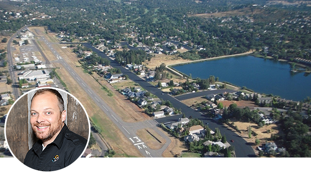
Innovative Safety: How a SX Total Station and TBC helped Restore Flights at a California Airpark [G-1275]
In 2018, Cameron Airpark faced a night flight ban due to trees encroaching on FAA Part 77 airspace. Using R10 GNSS, SX10 scans, and TBC’s “Distance to Surface” tool, the runway was mapped, a dynamic FAA model built, and encroachments identified. Results visualized in Google Earth guided tree trimming, restoring safe night operations and setting a new standard for airspace management.
Tom Cardenas, Senior VP of Geospatial Solutions, CSDS
Wednesday, Nov 12
2:30 PM - 3:30 PM PST (Titian 2201 B)